Day 1 Antigua
Mayan Shrines & Cloud Forests – Antigua to Terra Camp. Distance: 11.3 km/ Ascent: 870 mts. / Max Altitude: 2,650 mts.
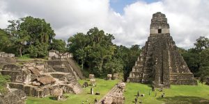
Leaving Antigua, day one begins with a 30-minute shuttle ride to the town of San Andrés Itzapa, home to a shrine dedicated to the Mayan deity “San Simón”. Here, witness locals as they pay their respects to the mysterious San Simon, and even light a candle to bless their travels.
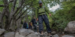
From there, a short drive takes you to the trailhead where you’ll begin the trek. It ascends out of vegetable and fruit plantations into the lush Guatemalan cloud forest, topping out at nearly 2,650 mts. Acatenango Volcano, the highest in the Antigua Valley, looms overhead as you begin to descend through thick cloud forest down to a beautiful, grassy saddle between two mountain peaks. From there, it’s a short climb into a protected forested area where you’ll have lunch in a sunny and secluded clearing.
Following lunch, descend through the protected area, trekking below towering trees covered in epiphytic plants such as orchids and bromeliads before you arrive at Terra Camp. After a hot shower and appetisers, warm up around a campfire before sitting down for a delicious dinner.
Day 2 Antigua/Camping
Mountain Peaks & Fertile Valleys – Terra Camp to Fuego Camp. Distance: 13.0 km/ Ascent: 1,390 mts./ Max Altitude: 2,440 mts.
Day two of the trek begins with a long descent through forest and agricultural fields into the La Vega River valley more than 580 mts below. From here you’ll cross a hanging footbridge over the river (allowing you to embrace your inner Indiana Jones!) before a challenging, yet spectacular, 730 mts. climb through coffee plantations. Lunch will be in a spot located near a quaint Mayan village. After lunch, make a final push upwards to arrive at Fuego Camp by late-afternoon.
Upon arrival, the staff will greet you with a welcome drink to quench your thirst. It is time to pull up a chair, kick off your boots, and take in the panoramic view of Fuego Volcano. It is one of the world’s most active volcanoes that’s been regularly going since the Spanish conquest. With luck, it will light up the night sky with plumes of molten lava.
Around the campfire, a local women’s group will show you how to make traditional corn tortillas by hand. Later sit down for dinner followed by a good night’s rest.
Day 3 Camping
Mayan Pueblos & Volcano Views – Fuego Camp to Agua Camp. Distance: 15.0 km/ Ascent: 1,100 mts./ Max Altitude: 2,755 mts.
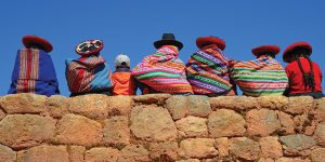
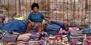
Day three immerses guests in the finest natural scenery that Guatemala has to offer. A morning push takes you to the highest point of the trek, just over 2,755 mts. Follow a pristine ridgeline with panoramic views of six volcanoes and cloud forest that reveals unique plants and birds. Along the way, take the opportunity to talk with local farmers tending their terraced fields and learn about traditional agricultural practices. A long and gradual descent leads you to the lunch spot. Have a short siesta before finishing the day by walking into Agua Camp, named in honour of Lake Atitlán, which can be seen in the distance below. After relaxing a bit, venture into the local Mayan community of Chuinimachicaj to visit a women’s co-operative. They specialise in traditional backstrap weaving, an ancient art practised for centuries in Guatemala and still used to weave fabric for clothing and other household textiles.
Day 4 Camping/Lake Atitlan
Coffee Fincas & Clear Waters – Fuego Camp to Lake Atitlán. Distance: 13.7 km/ Ascent: 1,030 mts./ Max Altitude: 2,440 mts.
The final day of the trek begins with an 820 mts. descend into the La Madre Vieja River valley that weaves through a patchwork of traditional agricultural fields and small villages. Once in the valley, visit a picturesque coffee Finca to learn about the planting, harvesting and processing of small-batch speciality coffee (and of course, sample some as well).
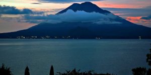
Following the coffee tour, cross the river on another hanging footbridge before a short ascent to the rim of Lake Atitlán. There will be an incredible view of the water below and three massive volcanoes that surround it.
From there, a final descent through terraced fields of flowers and vegetables takes you to the lakeside village of San Antonio Palopó to conclude the trek.

